
AI-powered sensor suite strengthens European supply chain resilience
At DALO Industry Days, Danish-based defence technology company Sky-Watch showcases its new generation of AI-powered sensor systems for advanced unmanned aircraft systems (UAS). Developed in-house, the Zentra Sensor Suite is designed to deliver superior operational performance while strengthening a resilient European and NATO-based supply chain.
Støvring, Denmark, August 17, 2026: Modern warfare is evolving faster than many of the technologies designed to support it. As the battlefield changes rapidly, the development of new defence systems is often characterised by long development cycles and solutions that struggle to keep pace with operational requirements. As a result, defence organisations are increasingly demanding technologies that can be updated, improved and adapted as battlefield realities evolve.
This is the background for Sky-Watch‘s Zentra Sensor Suite: a new generation of AI-powered sensor systems developed entirely in-house to deliver superior operational performance, accelerate technology development and strengthen a resilient European and NATO-based supply chain.
We chose to develop this technology ourselves because we could not find solutions on the market that met both our own requirements and the operational needs of our defence customers. They demand superior operational performance together with the assurance that critical components originate from a resilient European and NATO-based supply chain. We can now deliver both.
Martin Schousboe, CEO of Sky-Watch
The sensor systems combine advanced image processing, edge computing and AI-powered analytics with a modular software platform developed by Sky-Watch. This enables continuous software upgrades and rapid integration of operational feedback into new capabilities.
The Zentra Sensor Suite will be exhibited at DALO Industry Days in Herning, Denmark on August 19–20, where Sky-Watch will present the sensor systems as an integrated part of the company’s ISR portfolio.
The sensor is part of the capability
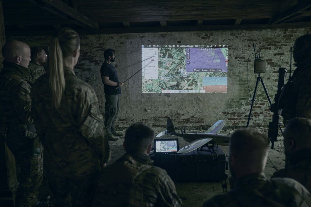
For Sky-Watch, the sensor is not a standalone product. It forms part of an integrated ISR capability, where the UAV platform, sensors, software, user interface and continuous operator feedback function as one integrated system.
This philosophy is fundamental to Sky-Watch‘s development approach: it is no longer just about what the UAV can see, but how quickly information can be analysed, shared and transformed into better operational decisions.
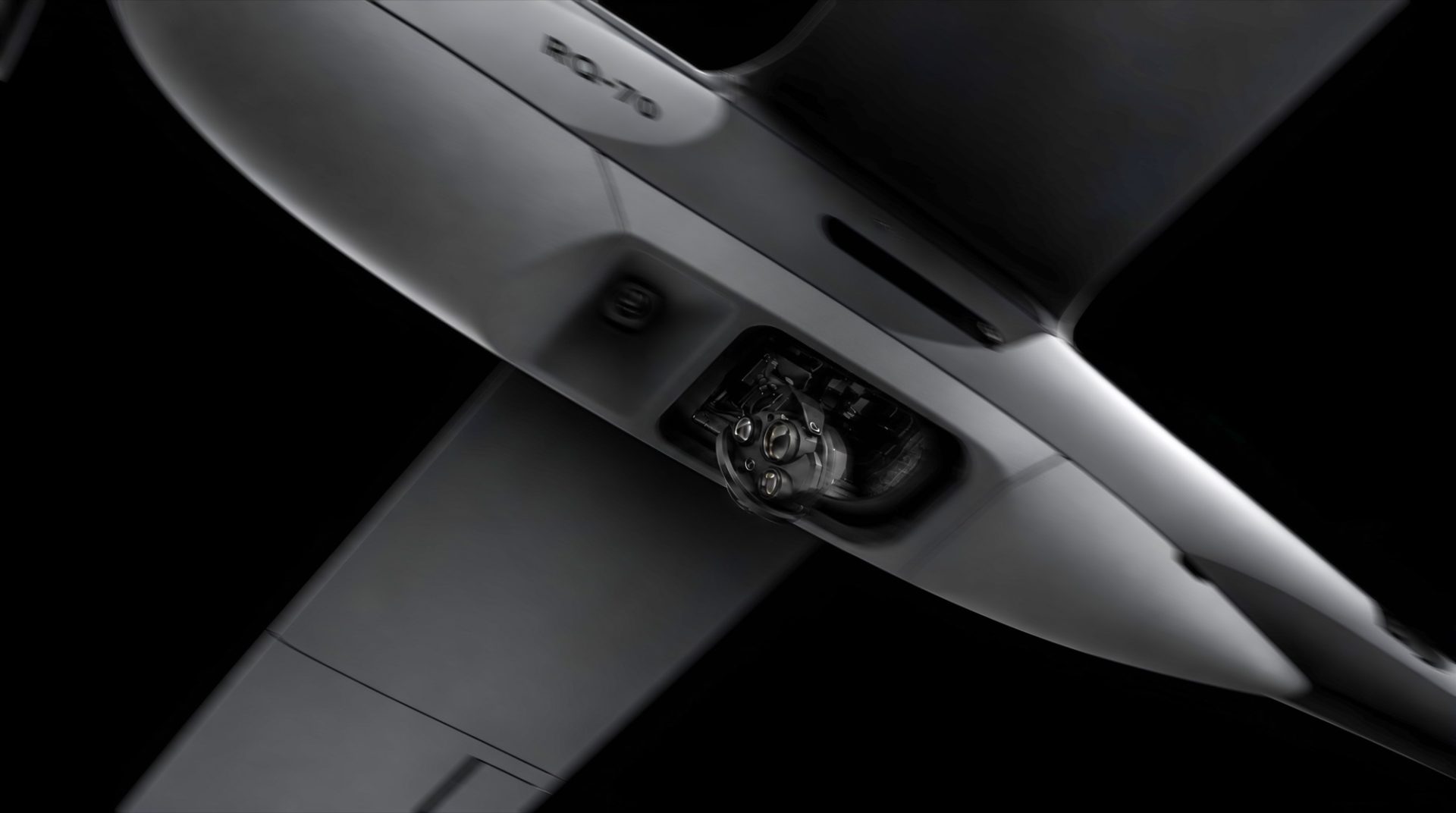
The Zentra Sensor Suite is designed to deliver superior image quality and advanced situational awareness under demanding operational conditions. It supports AI-powered image processing, electro-optical and thermal image fusion, super resolution and image enhancement in fog, haze and other challenging visibility conditions.
The sensor family includes combined EO/IR systems as well as dedicated navigation sensors capable of supporting autonomous navigation in environments where satellite signals are unavailable or unreliable.
Faster learning Greater control
By controlling both hardware and software development, Sky-Watch can adapt technology more rapidly to emerging operational requirements and integrate new AI capabilities without depending on external suppliers’ development cycles.
This also reflects a broader European trend, where defence organisations are placing increasing emphasis on technological sovereignty, resilient supply chains and capabilities that can continuously evolve based on experience from real-world operations.
Defence is no longer just about platforms. It is about controlling the technologies that create operational effect. By developing both hardware and software ourselves, we can respond faster to emerging requirements, integrate AI more rapidly and provide our customers with greater confidence in the resilience of their supply chain.
Martin Schousboe, CEO of Sky-Watch
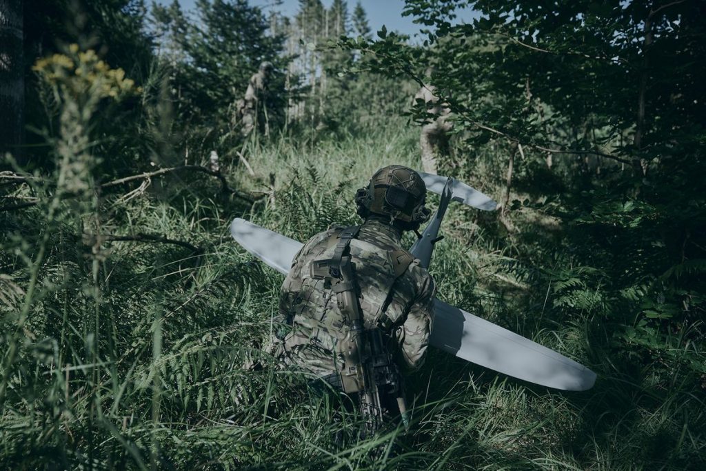
Sky-Watch‘s overall approach is to develop smaller, faster and more intelligent systems in close collaboration with the operators who use them. Platform, sensors and software are designed to function as one integrated capability and continuously improve through operational feedback.
Part of a broader technology strategy
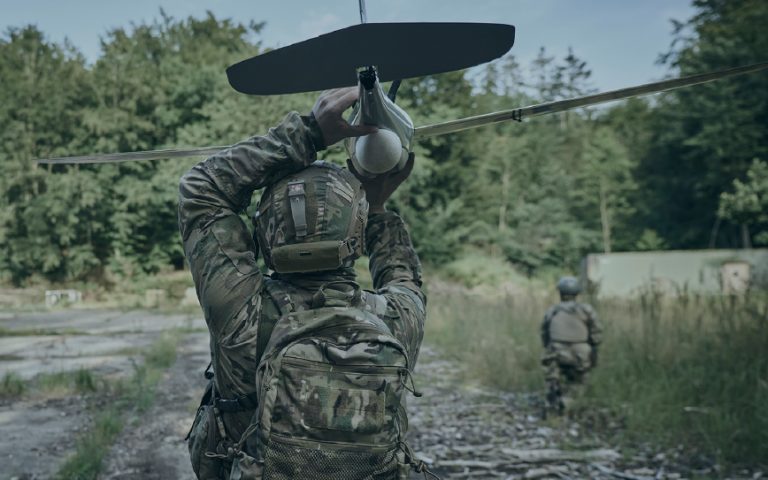
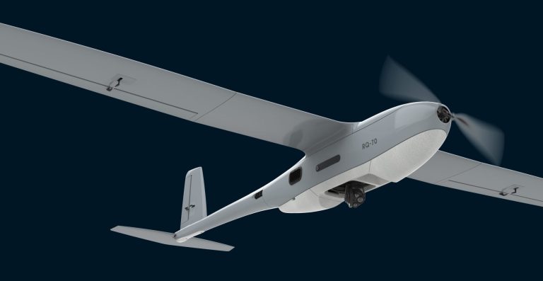
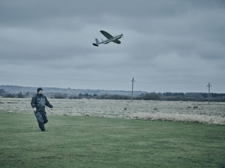
Earlier this year, Sky-Watch introduced the RQ-70, a new long-range unmanned aircraft system (UAS) built on the battlefield-proven RQ-35 UAV platform and four years of operational experience from Ukraine. The system has been developed and continuously refined through close feedback from operators in active missions and is based on an integrated architecture in which the UAV platform, sensors, software, user interface and operator feedback together form a single operational capability.
Specs overview: Zentra Sensor Suite
Full specifications are available on the Zentra Sensor Suite page.
Zentra-35 EO/IR
- Combined electro-optical and thermal sensor
- 4K EO camera with 50x continuous optical zoom
- IR camera with 640 × 480 resolution and 4x continuous optical zoom
- Real-time EO/IR image fusion
- AI-powered image processing, Super Resolution and De-haze
- Stabilization accuracy better than 70 µrad
- 360° continuous pan
- Operating temperature: −20 °C to +55 °C
- IP54 rating
- Qualcomm Dragonwing QCS8550 processor, 64-bit octa-core CPUs with AI processing capability of up to 48 TOPS
Zentra-35 EO
- Electro-optical sensor for visual ISR
- 4K resolution and 100x continuous optical zoom
- Optimized for high image quality in low-light conditions
- AI-powered image processing, Super Resolution and De-haze
- Stabilization accuracy better than 70 µrad
- 360° continuous pan
- Operating temperature: −20 °C to +55 °C
- IP54 rating
Zentra-35 IR
- Thermal sensor for operations in limited or denied visibility
- 1024 × 768 resolution and 20x continuous optical zoom
- Automatic thermal contrast adjustment
- AI-powered analytics and continuous software updates
- AI-powered image processing
- Stabilization accuracy better than 70 µrad
- 360° continuous pan
- Operating temperature: −20 °C to +55 °C
- IP54 rating
Zentra-NAV
- Dedicated EO and IR navigation sensors
- Designed for autonomous navigation in GNSS-degraded or GNSS-denied environments
- Uses visual tracking and map correlation without reliance on satellite signals
- EO version: 3840 × 2160 resolution and 40 g weight
- IR version: 640 × 480 resolution and 42 g weight
- Reduces operator workload and frees operators to focus on mission execution and ISR tasks